



New
Arrivals/Restock
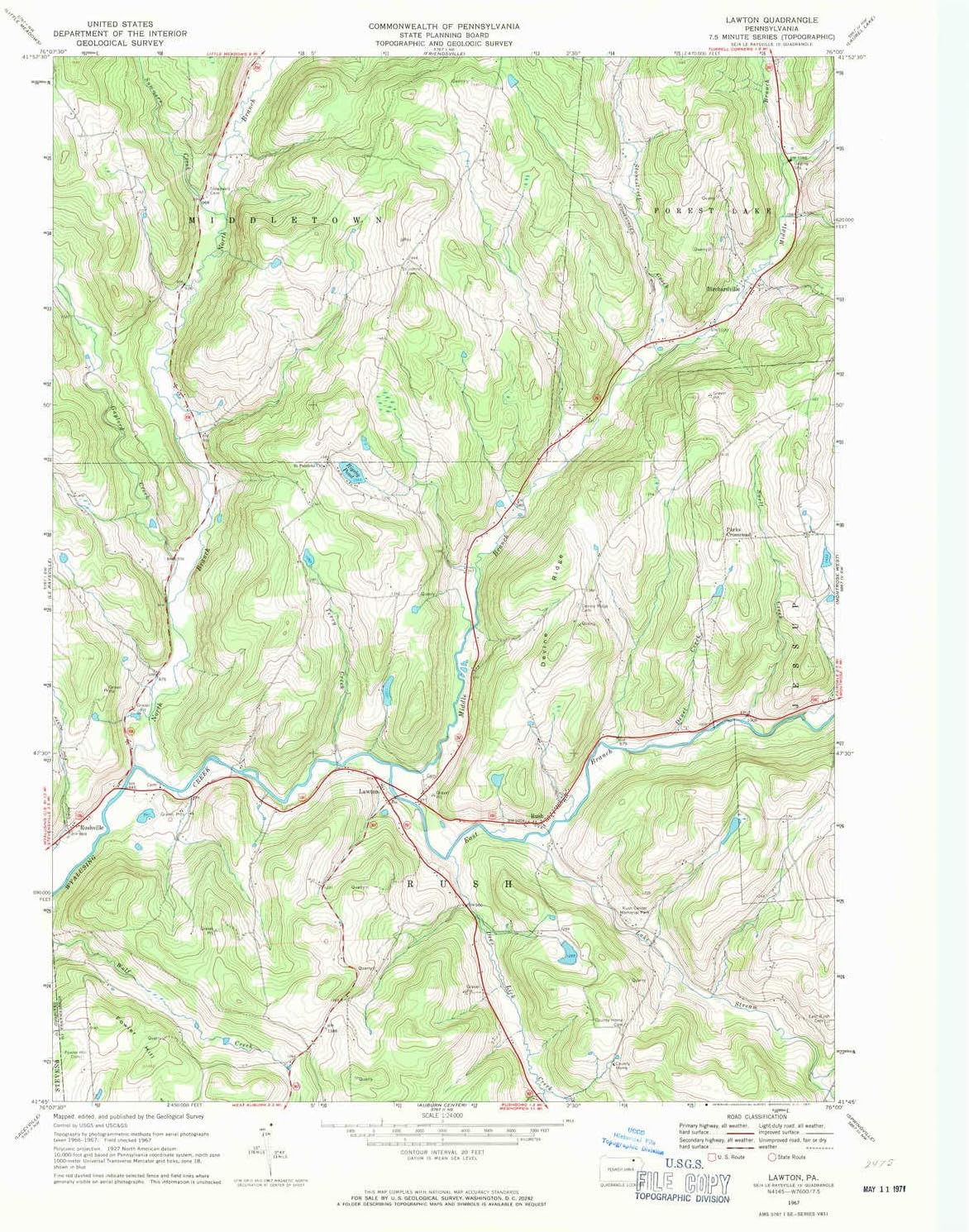
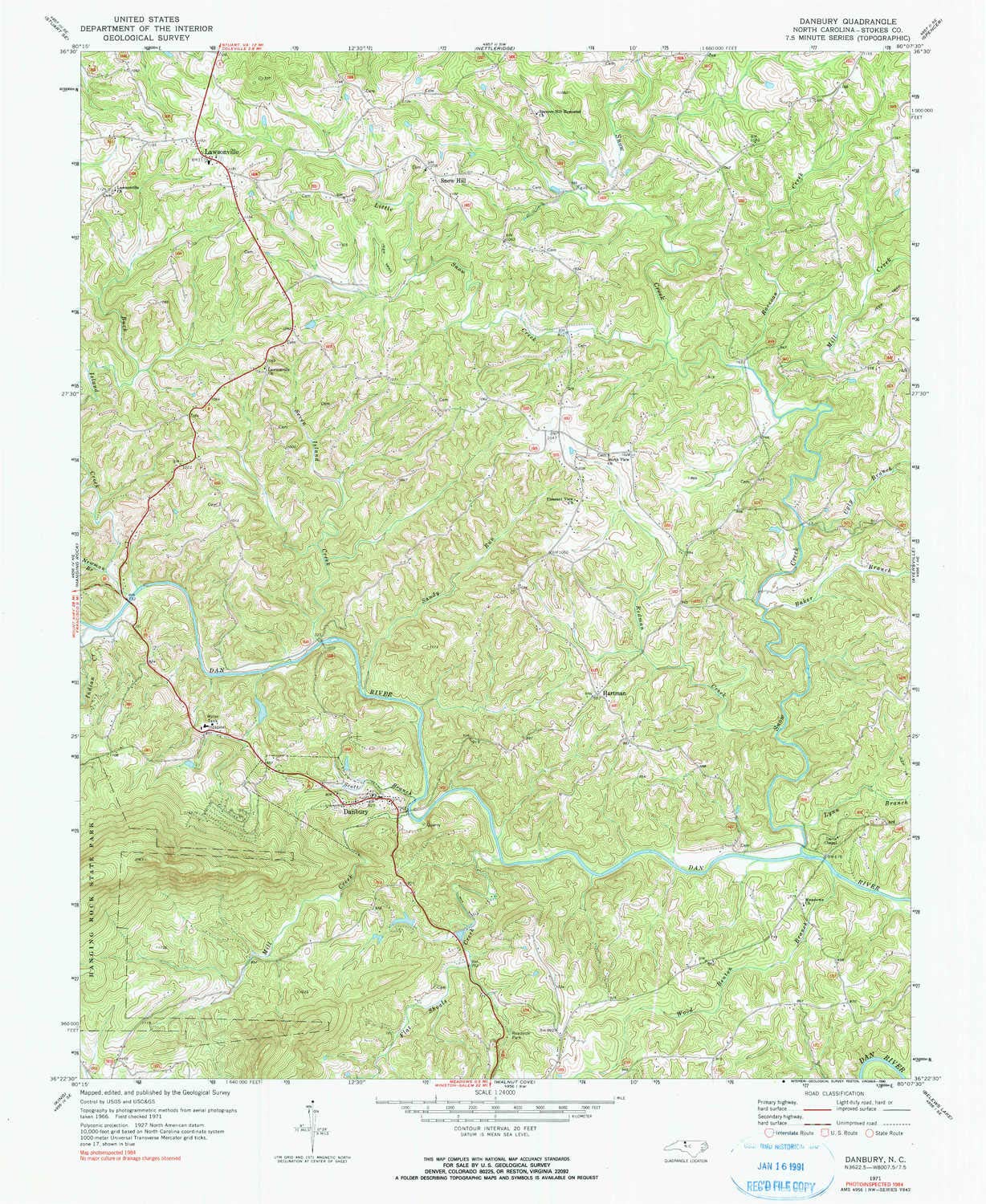
Lawton PA topo map, 1:24000 Scale, 7.5 X 7.5 Minute, Historical, 1967, Updated 1971, 27 x 22.1 in - Paper

 4.3 (17 items)
 Limited Time Sale
Until the end
00
19
24
US$29.97 cheaper than the new price!!
Free shipping for purchases over $99 ( Details )
Free cash-on-delivery fees for purchases over $99
Free cash-on-delivery fees for purchases over $99
See all stores
Please note that the sales price and tax displayed may differ between online and in-store. Also, the product may be out of stock in-store.
Used US$19.98
Product details
| Management number | 221640355 | Release Date | 2026/05/03 | List Price | US$19.98 | Model Number | 221640355 | ||
|---|---|---|---|---|---|---|---|---|---|
| Category | |||||||||
Printed on Regular Paper
- Printed on Regular Paper (32lb)
- USGS topographic map of Lawton, PA, at 1:24000 scale. High-quality paper print. Perfect for wall maps.
- Cities, towns, villages: Lawton,Rushville,Parks Crossroad,Rush,Birchardville
- Rivers, creeks: Middle Branch Wyalusing Creek,Snell Creek,Stonestreet Creek,North Branch Wyalusing Creek,East Branch Wyalusing Creek,Deer Lick Creek,Summers Creek,Deuel Creek,Elk Lake Stream,Terry Creek,Gaylord Creek
- Lakes: Rigsby Pond
| Color | Regular Paper |
|---|---|
| Map Type | Historical, Topographic |
| Brand Name | YellowMaps |
| Item Weight | 57 Grams |
| Part Number | USGS-5325190-PAPER |
| Manufacturer | USGS |
Bestseller ranking
Tools & Tool Sets



Customers who viewed this product also viewed
Topographic Maps




Correction of product information
If you notice any omissions or errors in the product information on this page, please use the correction request form below.
Correction Request Form